Pakmandidos

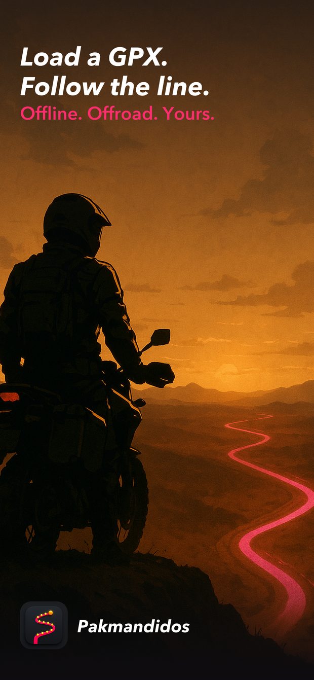
Load a GPX.
Follow the line.

Offline. Offroad. Yours.

Built on the Trans Euro Trail for adventure bikes and 4x4s — and it follows a walking track just as happily.

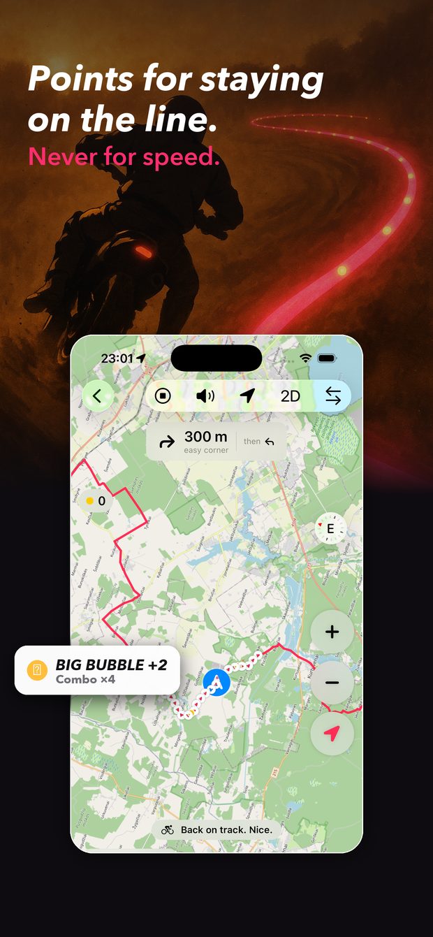
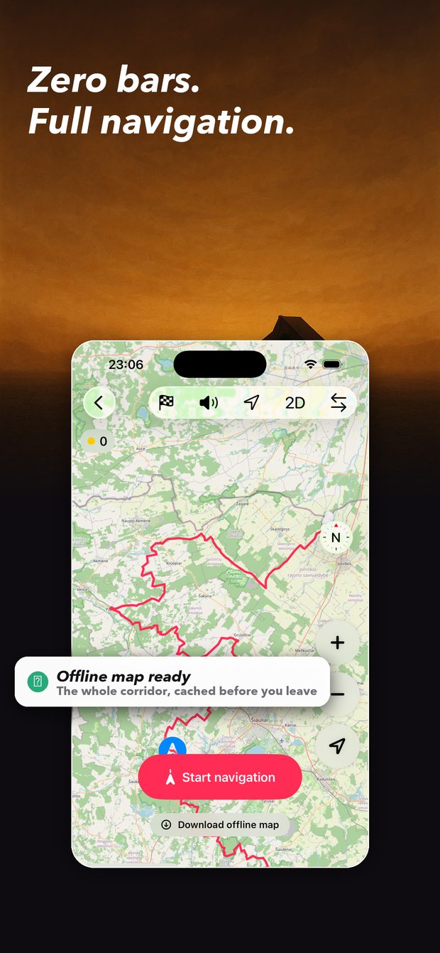
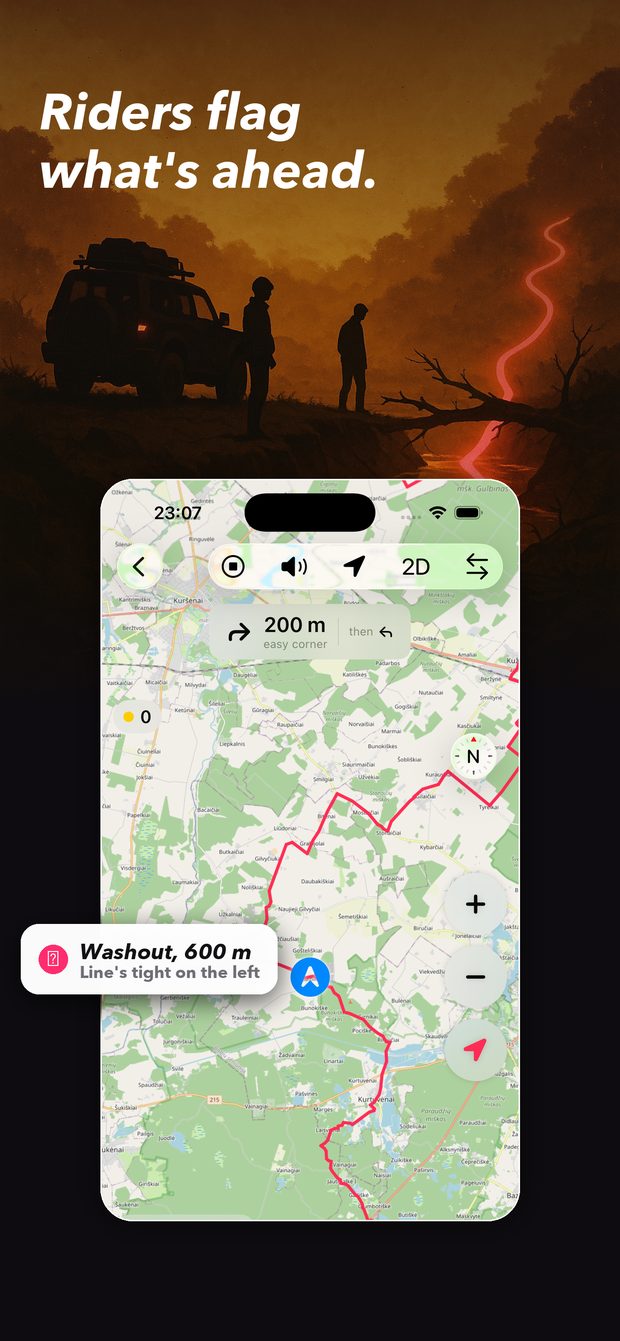
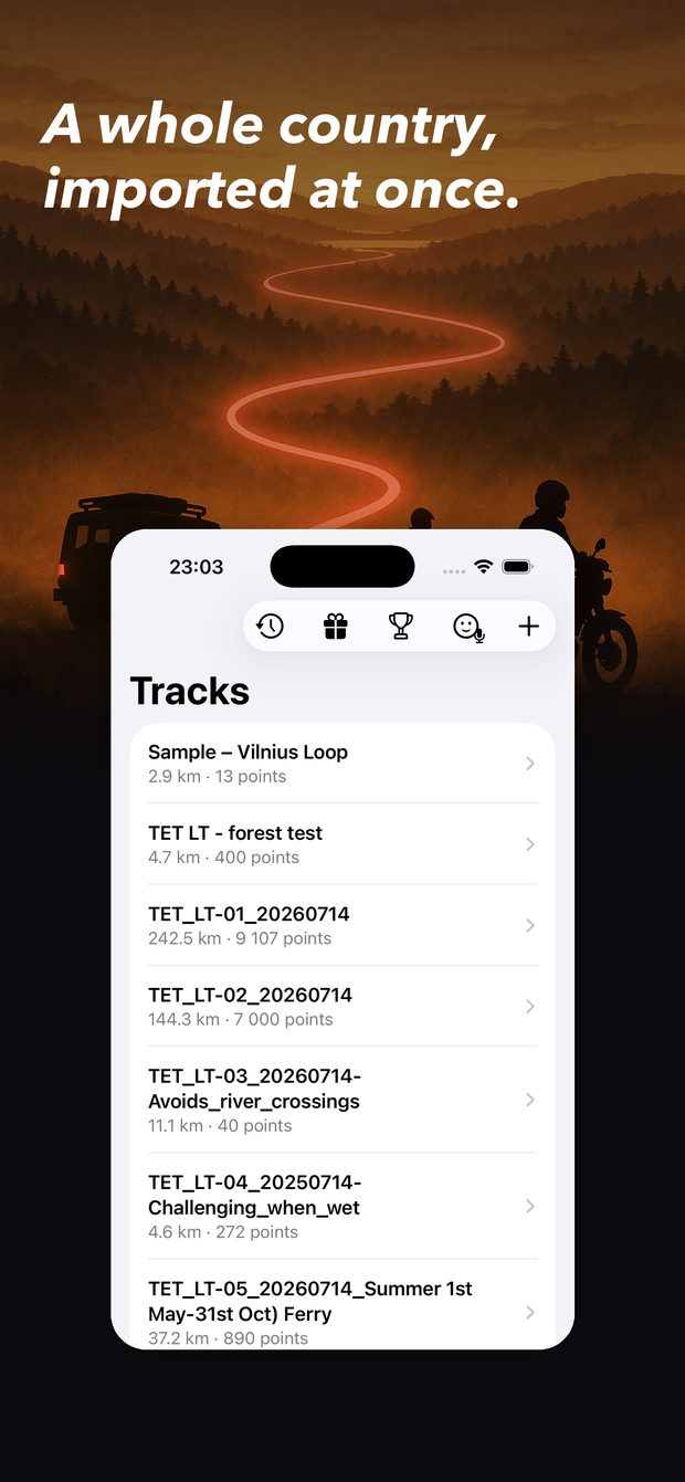
Following a GPX track on the map Offline map pack ready to download Rider-reported hazards on the trail A list of imported TET sections

Why this exists

Two of us rode the Trans Euro Trail across Finland on enduro bikes. The riding was perfect. The navigation was a mess — and that's why this app exists.

Every morning started the same way. A dozen taps across two or three apps just to get the right track loaded, pointing the right way, on the right map. Miss a turn — usually because an app did something inconsistent — and getting back on the line became its own project. At night, a different app again, to find out how far we'd actually gone.

Three imperfect tools, one flat battery, and all of it asking for attention that belonged on the trail. You shouldn't have to maintain a tech stack in the middle of a forest. You came to ride.

It cost us things, too. Waypoints slid past unnoticed. The ones we did stop at were often not worth it, while the good ones went by while we were reading corners instead of a screen — which is where your eyes belong on a bike. We met riders bringing a mate in a car just to manage all this. That shouldn't be necessary any more.

The part that mattered most was safety. Trails have surprises. A washout after heavy rain, a fallen tree, a rutted descent that wasn't there last season. Nobody tells you it's coming, so you find out at the worst possible moment — and it ends in a dropped bike, a puncture, or worse.

So I built the thing I wanted.
What it does

Load it and ride

Drop in a GPX — a TET country pack, a friend's route, an export from wherever you plan. No conversion, no technical setup. The line is thin so you can still see whether you're on gravel or rock.

It works with no signal

The map, the turn cues, the waypoint notes and the rider reports all cache before you leave. Out there the phone can sit in airplane mode and nothing changes.

A voice instead of a screen

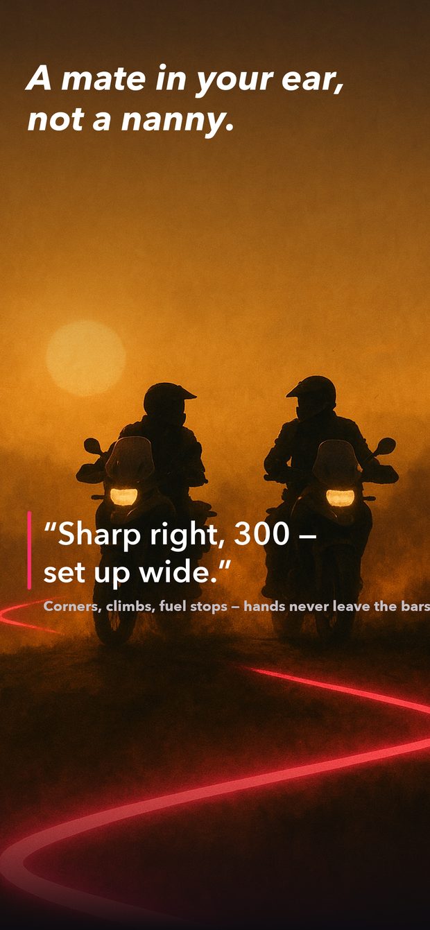
Corners, climbs, loose descents, fuel, and a nudge when you've gone too long without water — spoken out loud, so your hands stay on the bars and your eyes stay on the trail.

Riders warn each other

One tap flags a washout, a fallen tree, a deep crossing, a gate, a good camp spot. Others confirm it's still there or mark it cleared. Your buddy calls them out before you reach them.

The good stuff, out loud

The waypoints on your track are researched before you leave, then read to you as you come up on them — without ever looking down.

Your crew, even at different speeds

Switch it on and your team can see each other on the map. Off by default. Your crew only. There is no public map of who's out riding, and there never will be.

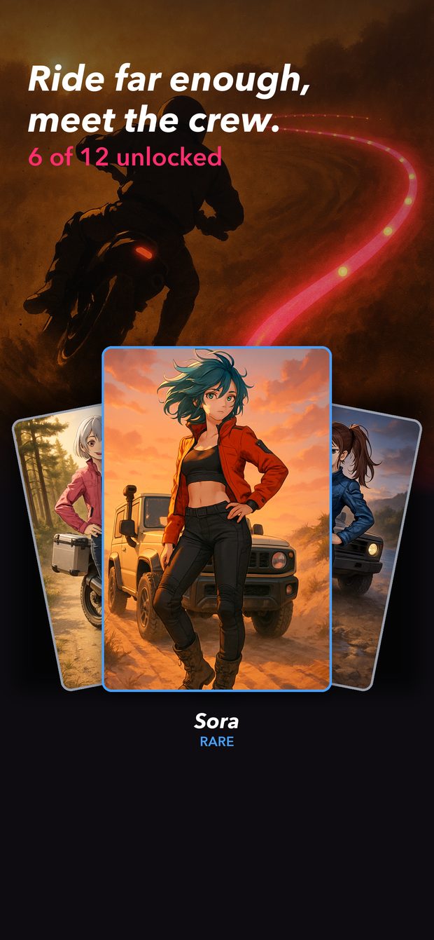
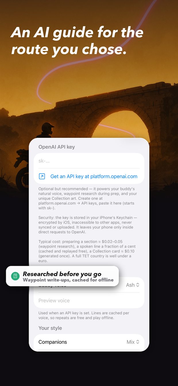
Voice and AI settings The riding buddy calls the corners Points for staying on the line Collectible rider cards

Points come from staying on the line and from flagging hazards for the riders behind you. Never from speed — there is nothing to gain by going faster.

This app is years of riding the TET and hitting the same problems. I'm still out there, and I'm still improving it. Enjoy the ride.

Keeping it running

Pakmandidos is free, with no advertising in it and none coming. Hosting the offline map packs and the servers behind hazard reports costs a little every month, and it comes out of my own pocket.

Buy me a tank of fuel

Entirely optional. It unlocks nothing — everyone gets the same app.

Questions?

Support and FAQ · Privacy Policy · Terms of Use